Central America Storm Expected to Hit Nicaragua and Costa Rica, May Turn Into Hurricane
Forecasters said Thursday that a fast-moving storm that recently hit several countries in the Caribbean and the northern part of South America could eventually develop into a hurricane over the Pacific.
Now, the weather disturbance, currently known as "Potential Tropical Cyclone Two," is reportedly gathering steam and is about to hit Central America as a tropical storm - from the Nicaragua-Costa Rica border to Laguna de Perlas in Nicaragua - over the weekend.
According to the U.S. National Hurricane Center (NHC), a hurricane watch is already in effect in areas near the Nicaragua-Costa Rica border. It blew past northern Colombia late Thursday and is now heading over open waters north of Panama and then to the coastal area around the Nicaragua-Costa Rica border.
The weather disturbance has already drenched several Caribbean countries since Monday, all while still not meeting the criteria for a named tropical, Associated Press reported.
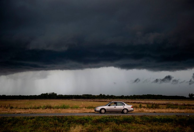
Carribean Storm Gathering Strength and Could Become a Hurricane May Cause Flooding
Fox Weather reported that the storm, which had maximum sustained winds of 40 mph, was already located 400 miles east of Bluefields, Nicaragua, as of Thursday night.
According to the NHC, it may hit the Nicaragua-Costa Rica area as a tropical storm late Friday or early Saturday and then emerge over the eastern Pacific, likely sometime on Saturday.
As it gathers strength, the disturbance could become Tropical Storm Bonnie before the weekend. It also has the potential to reach hurricane strength. The NHC also said there's a 90% chance that the disturbance will turn into a tropical storm as it heads westward.
While still not strong enough to be named, the tropical disturbance has already brought about heavy rainfall that forced several schools in Venezuela and the Caribbean to close over the past few days.
A tropical storm warning has also been issued for San Andres, Colombia; Costa Rica's Limon Coast; and Sandy Bay Sirpi, Nicaragua. Meanwhile, the NHC has also announced a tropical storm watch from Cabo Blanco, Costa Rica, northward to Puerto Sandino in Nicaragua.
READ NEXT: California Jury Awards $21 Million to Family of Pregnant Teen Killed in 'Botched' Police Operation
Heavy Rains in Texas and Louisiana as NHC Tracks Disturbance 'Invest 95L'
While the storm might not be able to hit the United States, another disturbance is forming off of Texas, dubbed Invest 95L.
AccuWeather reported that heavy rain and thunderstorms associated with the disturbance might hit several parts of Texas and Louisiana before the end of this week.
And as Texas braces for rain, more intense thunderstorms near the Texas coast may bring strong wind gusts, hail, and a chance for an isolated tornado or waterspout to appear.
The AP reported that the storm in the Caribbean is currently pivoting towards the northwest, and as it does, more showers and thunderstorms are expected around eastern Texas and spread northward to western Louisiana and southern Arkansas.
According to Accuweather, one to two inches of rain is to be expected in these areas. However, the heaviest rainfall brought about by the potential hurricane will occur from near Houston to just east of Corpus Christi and then northward to College Station, Texas, from Thursday to Friday.
Around four to eight inches of rainfall is expected in these areas. However, there is also potential for the rain to reach about 16 inches in some places in Texas.
This article is owned by Latin Post.
Written by: Rick Martin
WATCH: Tracking the Tropics: Potential Tropical Cyclone 2 could become Bonnie this week - From 10 Tampa Bay
Subscribe to Latin Post!
Sign up for our free newsletter for the Latest coverage!