California Earthquake: Bay Area, Central Coast Hit by Magnitude 4.5 Jolt
The United States Geological Survey (USGS) reported a magnitude 4.5 earthquake in California on Tuesday afternoon, with the Bay Area feeling the shaking.
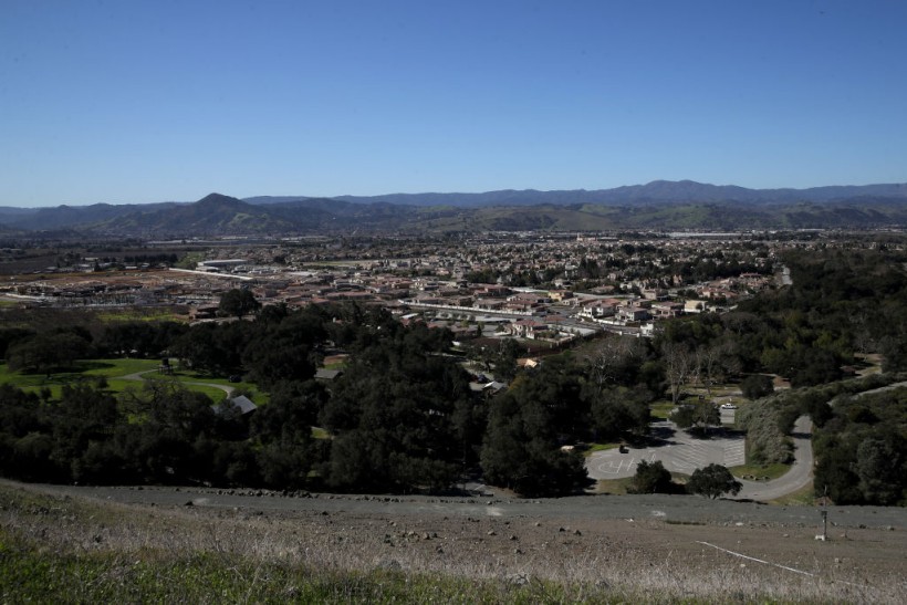
According to USGS, the California earthquake struck at 3:23 p.m., some two miles north of Tres Pinos and three miles southeast of Hollister.
The shaking was reportedly felt throughout the region. The California Geological Survey said the earthquake occurred in the area of the Calaveras Fault Zone, CBS News reported.
Dr. Annemarie Baltay of USGS previously said the Calaveras system is "very seismically active." She noted that several moderate earthquakes occurred in the area. It included the 6.2 magnitude Morgan Hill earthquake in 1984.
Data from USGS showed that the California earthquake struck nearly five miles before the surface. The San Francisco Fire Department has not reported any damages or injuries.
Santa Clara Valley Transportation Authority noted that the rail service was delayed for five to seven minutes for post-earthquake inspection, as KRON 4 News reported.
The water treatment plant, Valley Water, said it would conduct staff inspections for their properties. So far, there have been no damages found yet.
READ NEXT: California Files Lawsuit Against Walmart for Illegally Dumping Hazardous Waste in Landfills
Calaveras Fault Zone
Last year, Richard Allen, director of UC Berkeley's Seismology Lab, told the San Francisco Gate that when thinking about hazardous faults in the Bay Area, there were three primary faults. These are San Andres, Hayward-Rodgers Creek, and Calaveras.
A 2014 report from USGS found that the three faults could most likely see a major earthquake in the future, similar to the 1989 Loma Prieta tremor.
The Loma Prieta earthquake in 1989 killed 63 people. Seismologists discovered that within a 30-day period, from 2014 to 2043, the odds of a magnitude 6.7 or larger earthquake happening has increased.
The San Andreas Fault has a 22% chance, with Calaveras having 26% and the Hayward-Rodgers Creek having 33%.
The Calaveras and Hayward-Rodgers Creek faults stem from the San Andreas Fault, branching off from the San Andreas network of faults.
The Calaveras fault spreads out from the south of the Bay Area near Pinnacles National Park, then heads north and cuts through the town of Hollister.
California Earthquakes
In December 2022, a magnitude 6.4 earthquake struck the coast of Northern California, followed by at least a dozen smaller aftershocks.
The earthquake was about 10 miles southwest of Ferndale City in Humboldt County, California. Two people were killed, while 17 were injured.
In July 2021, a magnitude 6 earthquake was felt as far away as the San Francisco Bay Area and Sacramento in California.
Earthquake authority noted that the earthquake was even felt in Carson City in Nevada, with magnitude 4.5 aftershocks also being felt.
One of the most powerful earthquakes recorded in California was a magnitude 7.1 earthquake in Ridgecrest in July 2019.
Multiple aftershocks occurred. It was considered one of the stronger earthquakes felt in the region in about 20 years.
In April 2010, a magnitude 7.2 earthquake was recorded in Baja California, Mexico. It was felt throughout the region, including Southern California, Arizona, and Nevada.
This article is owned by Latin Post.
Written by: Mary Webber
WATCH: Magnitude 4.5 Earthquake Hits California Coast - From ABC 7 Chicago
Subscribe to Latin Post!
Sign up for our free newsletter for the Latest coverage!