Tropical Storm Ian Path: Strength, Current Location, and When It Will Hit Florida, Revealed
Tropical storm Ian weakened slightly on Sunday afternoon but is expected to gain strength and shift its path west overnight.
The tropical storm, which was some 495 miles southeast of the western tip of Cuba, had maximum sustained winds of 45 mph and was moving west-northwest at 12 mph. The National Hurricane Center forecasted the tropical storm to become a hurricane on Monday and a major hurricane on Tuesday.
ABC 11 reported that it slightly slowed down and shifted west on Sunday morning, which could make the storm stronger and bring more elements to North Carolina.
As of 5 p.m., dry air ahead of the storm has delayed the strengthening trend. However, rapid intensification is expected to happen on Monday into Tuesday as it travels across the northwestern Caribbean and closes in on western Cuba.
The shift in the path of the storm would bring its center of rotation more inland as it pushes north through the U.S., which would allow the storm's wind and rain to blanket more area of North Carolina.
Tropical storm Ian is forecasted to weaken slightly before making landfall along the Gulf Coast side of Florida.
Tropical Storm Ian Path
Forecasts show that tropical storm Ian could affect the Caribbean islands such as Jamaica and Grand Cayman within the next 24 hours. ABC News reported that the islands were expected to experience heavy rain, possible flooding, and storm surge.
By Tuesday night, tropical storm Ian could be starting to hit the Florida keys and the southern parts of the state. The National Hurricane Center has already issued a tropical storm watch for parts of the Florida Keys on Sunday night.
Tropical Storm Ian Florida
AccuWeather reported that tropical storm Ian could reach Category 4 as it approaches Florida. According to USA Today, it means that the storm has sustained winds between 130 mph and 156 mph.
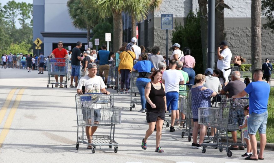
Senior Meteorologist for AccuWeather, Adam Douty, said tropical storm Ian will likely be "a dangerous, major hurricane" in just a matter of few days. Florida Governor Ron DeSantis had urged state residents to store food, water, medicine, batteries, and fuel.
DeSantis noted that it was too soon to say when or if Ian would make landfall. However, he said evacuations might be ordered in the upcoming days as a measure of caution.
The Republican governor has already declared a state of emergency for Florida, covering all 67 counties. He warned that "even if you're not necessarily right in the eye of the path of the storm, there's going to be pretty broad impacts throughout the state."
According to the National Hurricane Center, storms like Ian can cause "catastrophic" damage, with power outages that could last weeks or months, and areas can also be uninhabitable for weeks or months.
The weather service update said North Florida, the Florida panhandle, and the southeast United States could experience heavy rainfall on "Thursday, Friday and Saturday," with flooding that "can't be ruled out" later this week, particularly in central Florida.
Senior hurricane specialist John Cangialosi noted that Florida residents should gather supplies for possible power outages. AccuWeather meteorologists also warned that the storm could impact the Florida west coast, which is an often-missed target.
Out of around 160 hurricanes that affected Florida, only 17 had made landfall on the west coast north of the Florida Keys.
This article is owned by Latin Post
Written by: Mary Webber
WATCH: Tropical Storm Watches for Portion of Florida as Tropical Storm Ian Sets Sights on Florida - From FOX 13 Tampa Bay
Subscribe to Latin Post!
Sign up for our free newsletter for the Latest coverage!
© 2026 Latin Post. All rights reserved. Do not reproduce without permission.


